Informations
Carte
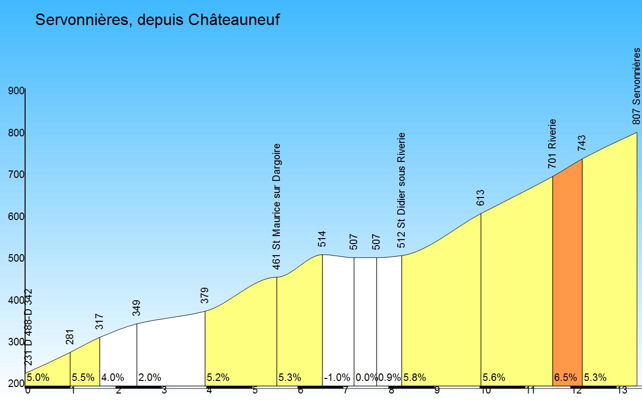
Profil
Connectez-vous ou Créez votre compte
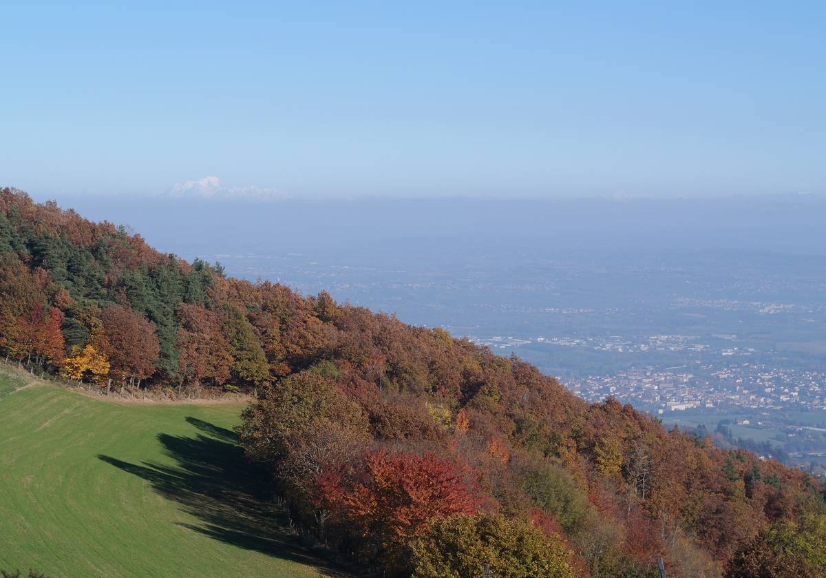
00:00:00 • kangooman • Commentaire publié le 08/11/2015
1er novembre 2015
Sélectionnez la photo :
Message :
Temps d'ascension :
 Ascensions réservées aux cyclistes